Shetland Parish Map
Click on the name of the parish to see a short description and details of what early records survive.

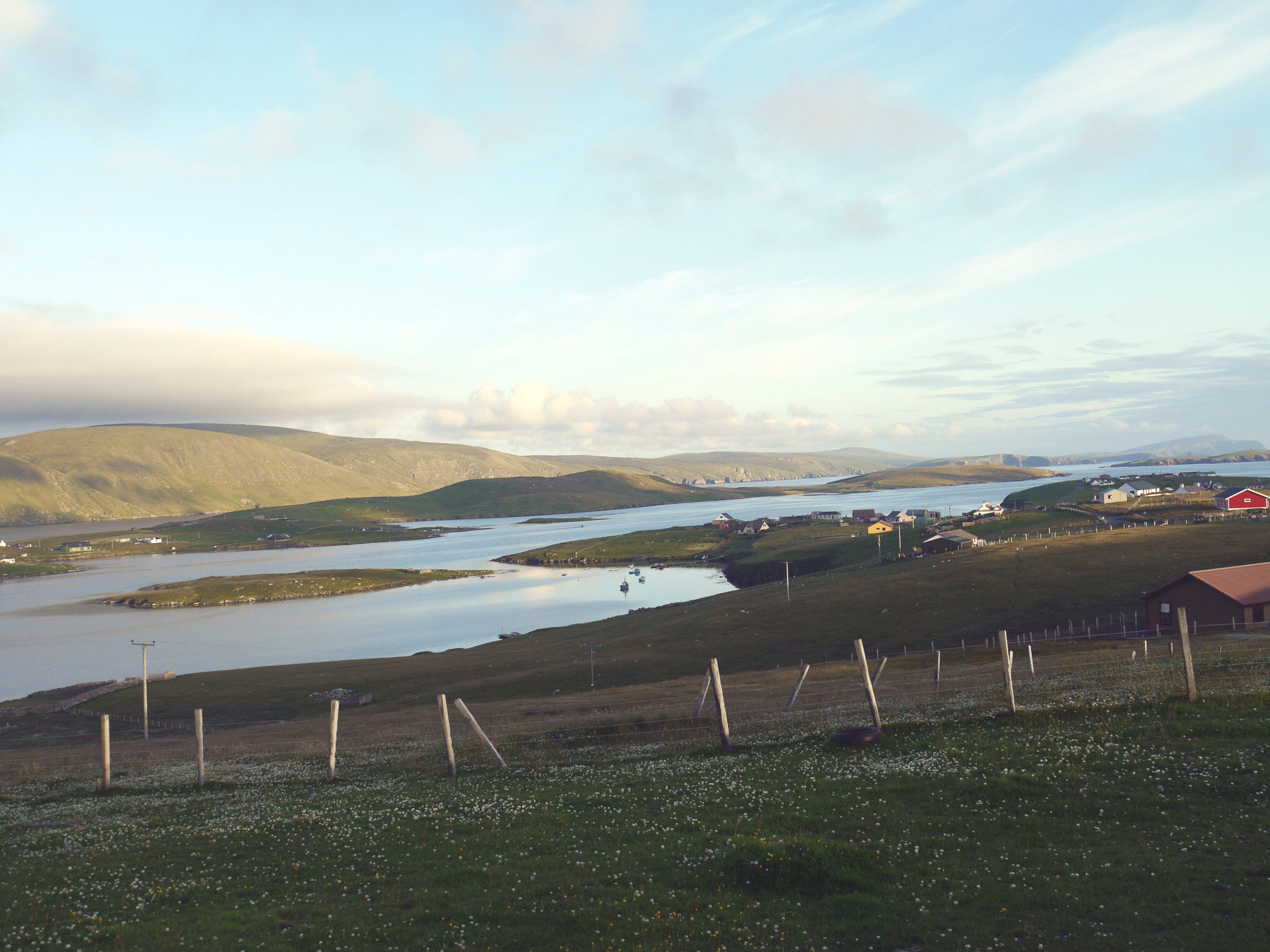
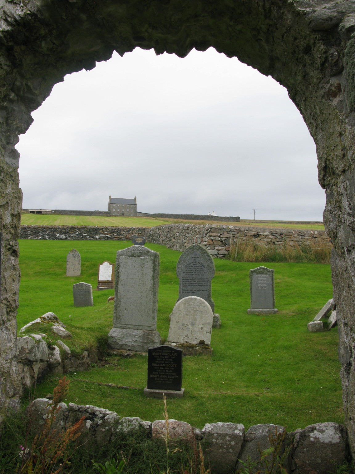
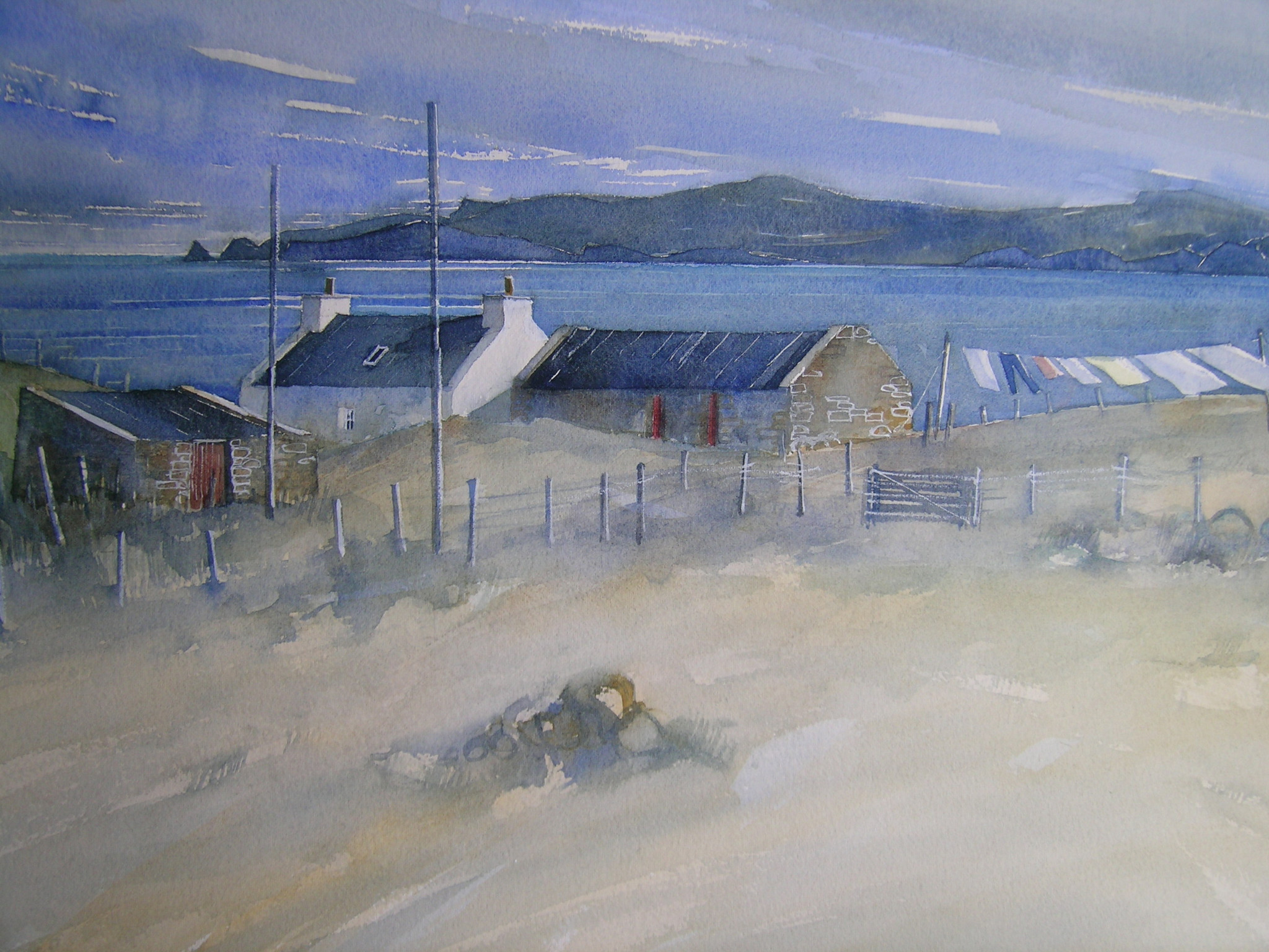
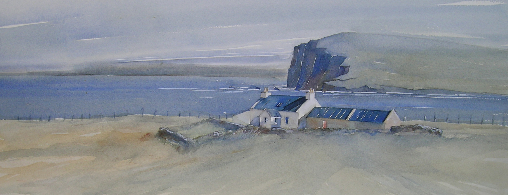
Dunrossness
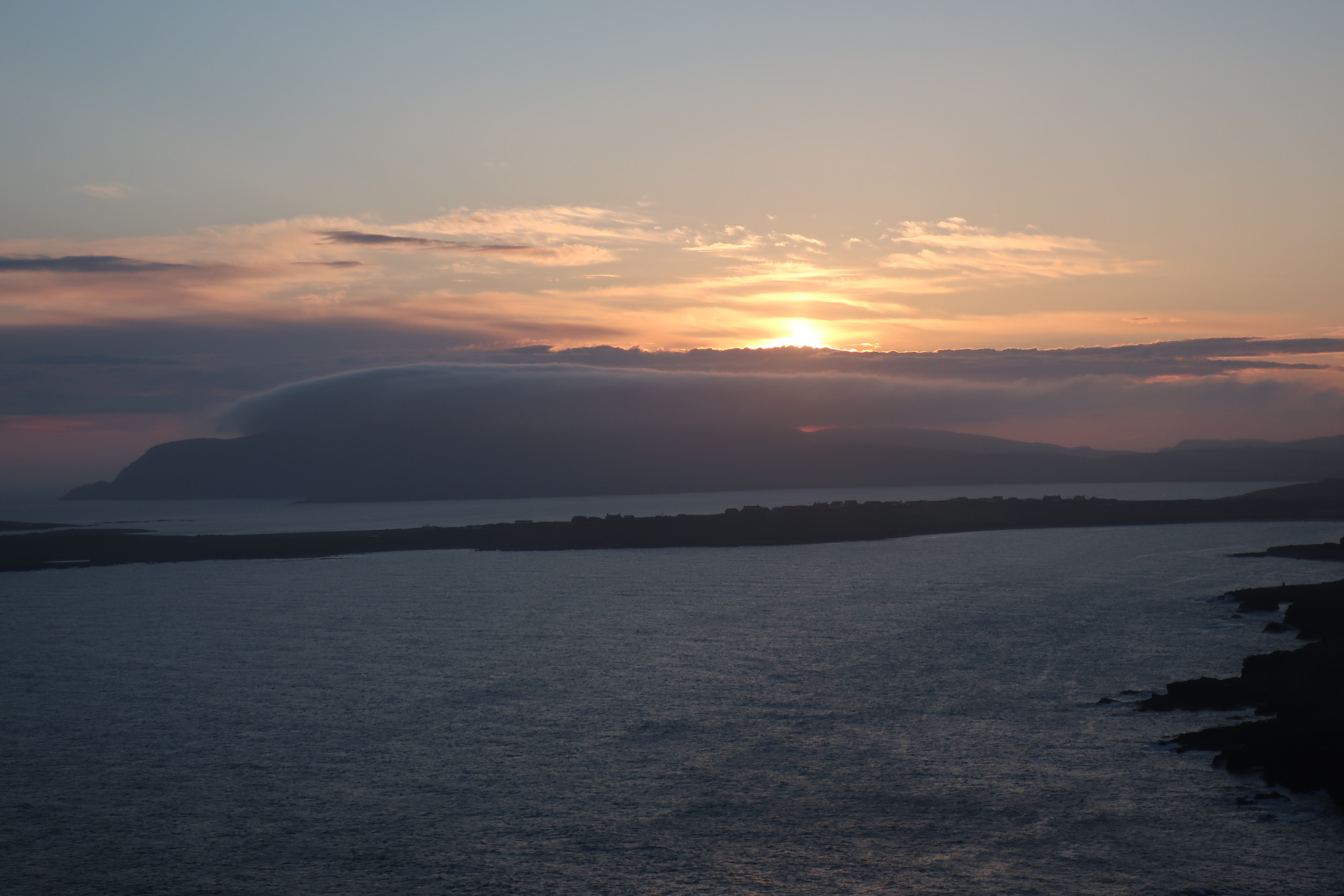
Fitful sunset © AM Beattie
From the 17th Century a United Parish with Sandwick, Cunningsburgh & Fair Isle. In 1870 Sandwick & Cunningsburgh were severed quod sacra from Dunrossness & Fair Isle.
Church of Scotland Registers:
Baptisms. 1753-1854, blank May 1783 - Apr 1789. Additional baptisms for the period in Shetland Archives CH2/112/5.
Marriages. 1753 – 1854, blank 1798 – Jan 1800.
Burials. None.
Wesleyan Methodist.
Baptisms 1848 – 1855+
Marriages. 1851 – 1855+
Sandwick
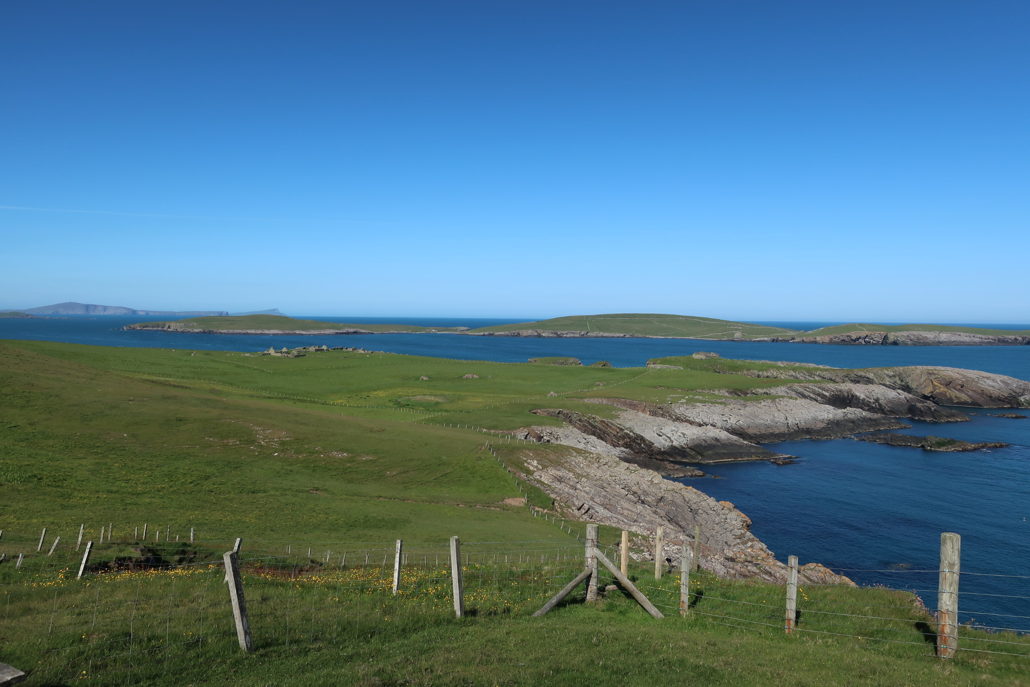
Sandwick Burland © AM Beattie
Originally part of the United Parish of Dunrossness, Fair Isle, Sandwick & Cunningsburgh. From 1870 united with Cunningsburgh as a separate quod sacra parish. Note: Indexes often erroneously show records from Sandwick and Cunningsburgh as being from Dunrossness.
Church of Scotland Registers (A single set of books covers both parts of the parish):
Baptisms 1746 – 1854, gaps June 1782 – June 1785.
Marriages 1746 – 1854, blank December 1782 – October 1786
Burials. None.
Cunningsburgh
Cunningsburgh Mail © MJT Canter
Originally part of the United Parish of Dunrossness, Fair Isle, Sandwick & Cunningsburgh. From 1870 united with Sandwick as a separate quod sacra parish. Note: Indexes often erroneously show records from Sandwick and Cunningsburgh as being from Dunrossness.
Church of Scotland Registers (A single set of books covers both parts of the parish):
Baptisms 1746 – 1854, gaps June 1782 – June 1785.
Marriages 1746 – 1854, blank December 1782 – October 1786
Burials. None.
Quarff
Quarff © SFHS
Originally part of the United Parish of Bressay, Burra & Quarff but from 1833 along with Burra formed a separate quod sacra parish with each part maintaining its own Registers. Note: Indexes often erroneously show records from Burra and Quarff as being from Bressay.
Church of Scotland Registers
Births/Baptisms. 1755 - ?(Burra & Quarff).
Baptisms 1831-1854 (Quarff).
Marriages 1830-1854.
Burials 1830-1849.
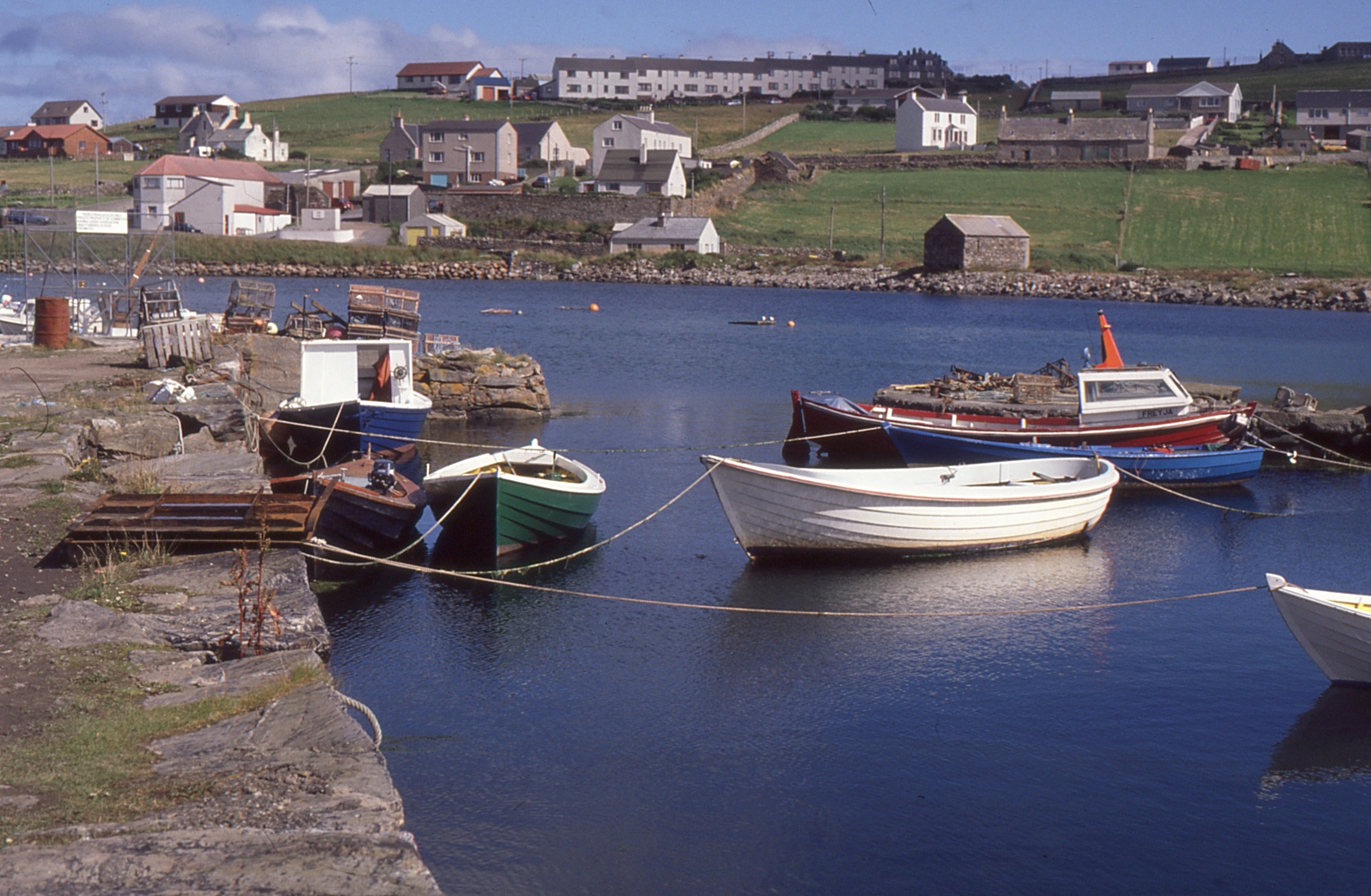
Burra
Burra © AM Beattie
Originally part of the United Parish of Bressay, Burra & Quarff but from 1833 along with Quarff formed a separate quod sacra parish with each part maintaining its own Registers. Note: Indexes often erroneously show records from Burra and Quarff as being from Bressay.
Church of Scotland Registers
Births/Baptisms. 1755 - ? (Burra & Quarff).
Births. 1820-1854 (Quarff).
Marriages. 1830-1854.
Burials. 1820-1843.
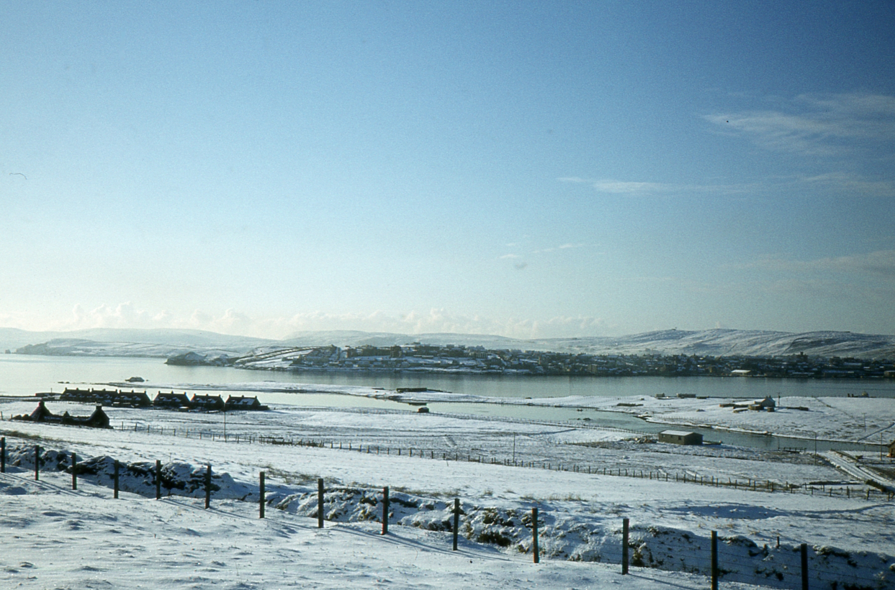
Lerwick
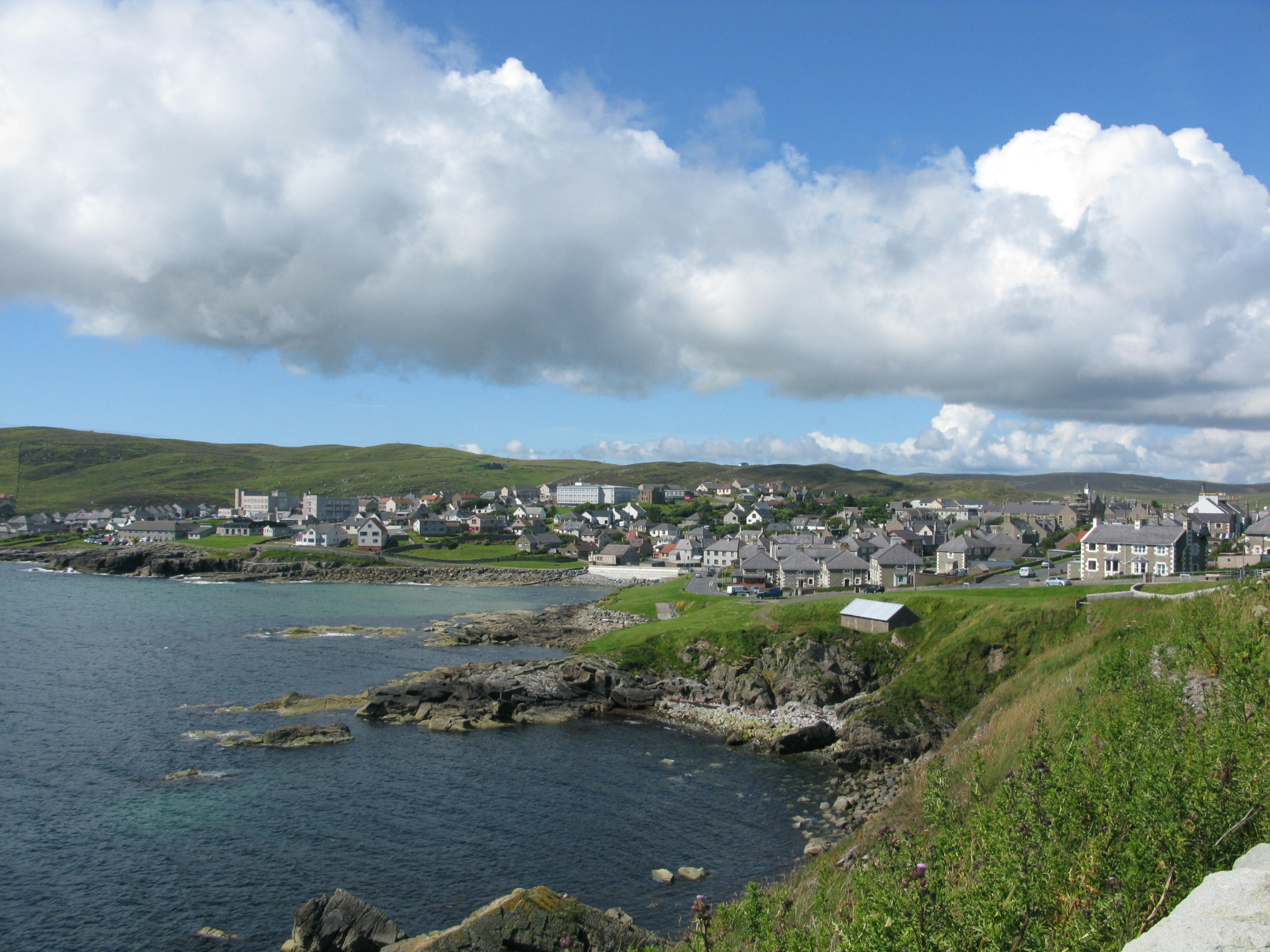
Lerwick © AM Beattie
Became a Parish independent of Tingwall in 1701 with the areas of Sound and Gulberwick added to its charge in 1722.
Church of Scotland Registers:
Births / Baptisms. 1728 – 1854, blank 1728 – 1730, 1734 – 1735, 1742 – 1751, 1775 – 1778.
Marriages. 1706 – 1854, blank 1708 – 1709, 1713 – 1742, 1746 – 1751, 1775 – 1778.
Burials. 1751 – 1854, blank 1775 – 1816.
Wesleyan Methodist.
Baptisms 1833 -
Episcopalian Church.
A number of baptisms and marriages are recorded in the Diary of John Hunter Episcopalian Minister in Shetland 1734 -1745 (Edited by Gilbert Goudie and published in The Scottish Antiquary Vol 6 No 23 (1892), Pp 97 – 112).
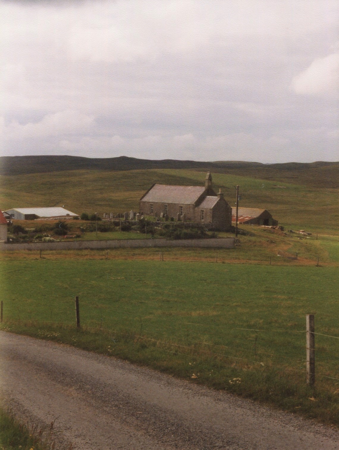
Tingwall
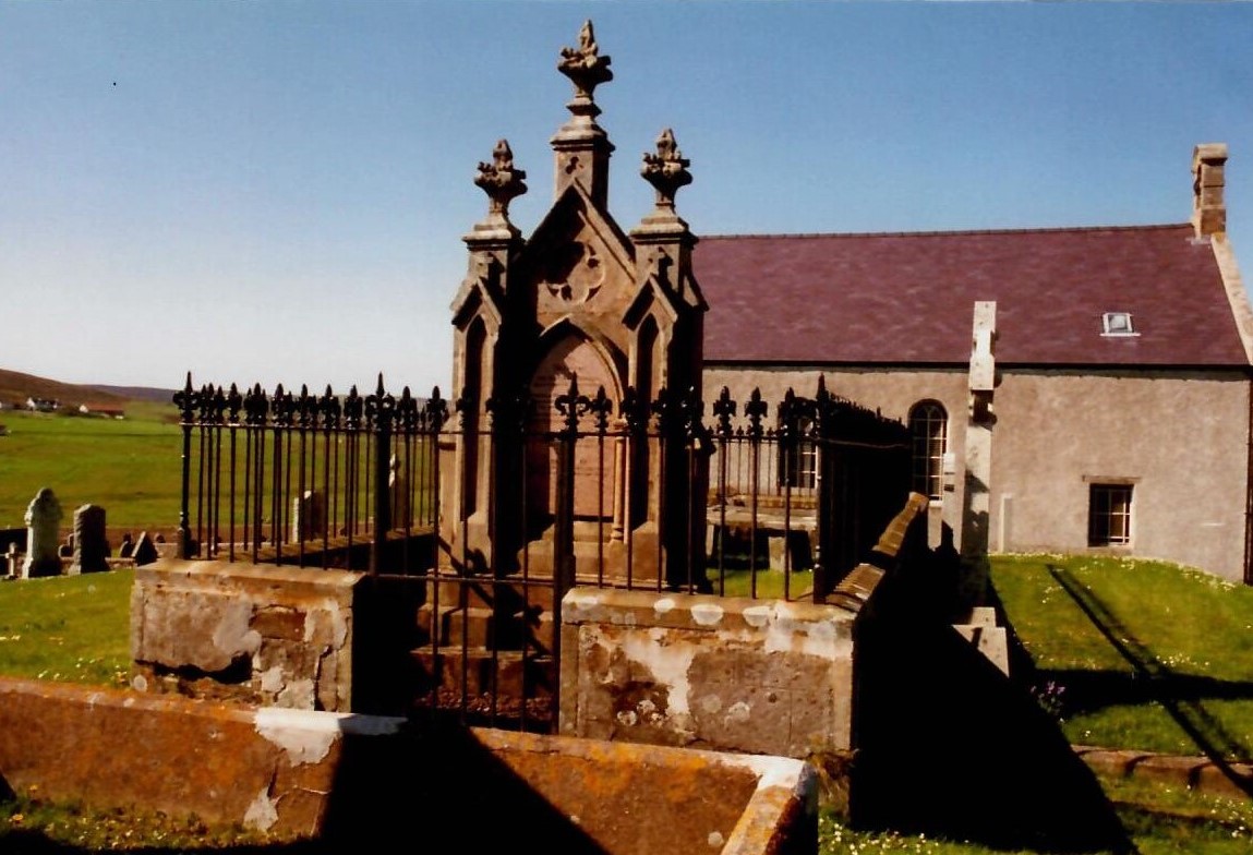
Tingwall Kirk © SFHS
Part of the United Parish of Tingwall, Scalloway, Whiteness & Weisdale since the sixteenth century. In 1899 Whiteness & Weisdale were severed quod sacra from the other two parts.
Church of Scotland Registers:
Baptisms 1709 – 1854, blank 1709 – 1712, 1723 – 1727.
Marriages. 1695 – 1699, 1727 – 1854, blank 1772 – 1775, 1777 – 1783, 1787 – 1791.
Burials 1740, 1783 – 1787.
Parts of the registers were retranscibed to show complete family groups, giving the parents’ dates of birth / baptism, and sometimes their parents’ names, their marriage and the births / baptisms of all their children born up to and including 1854.
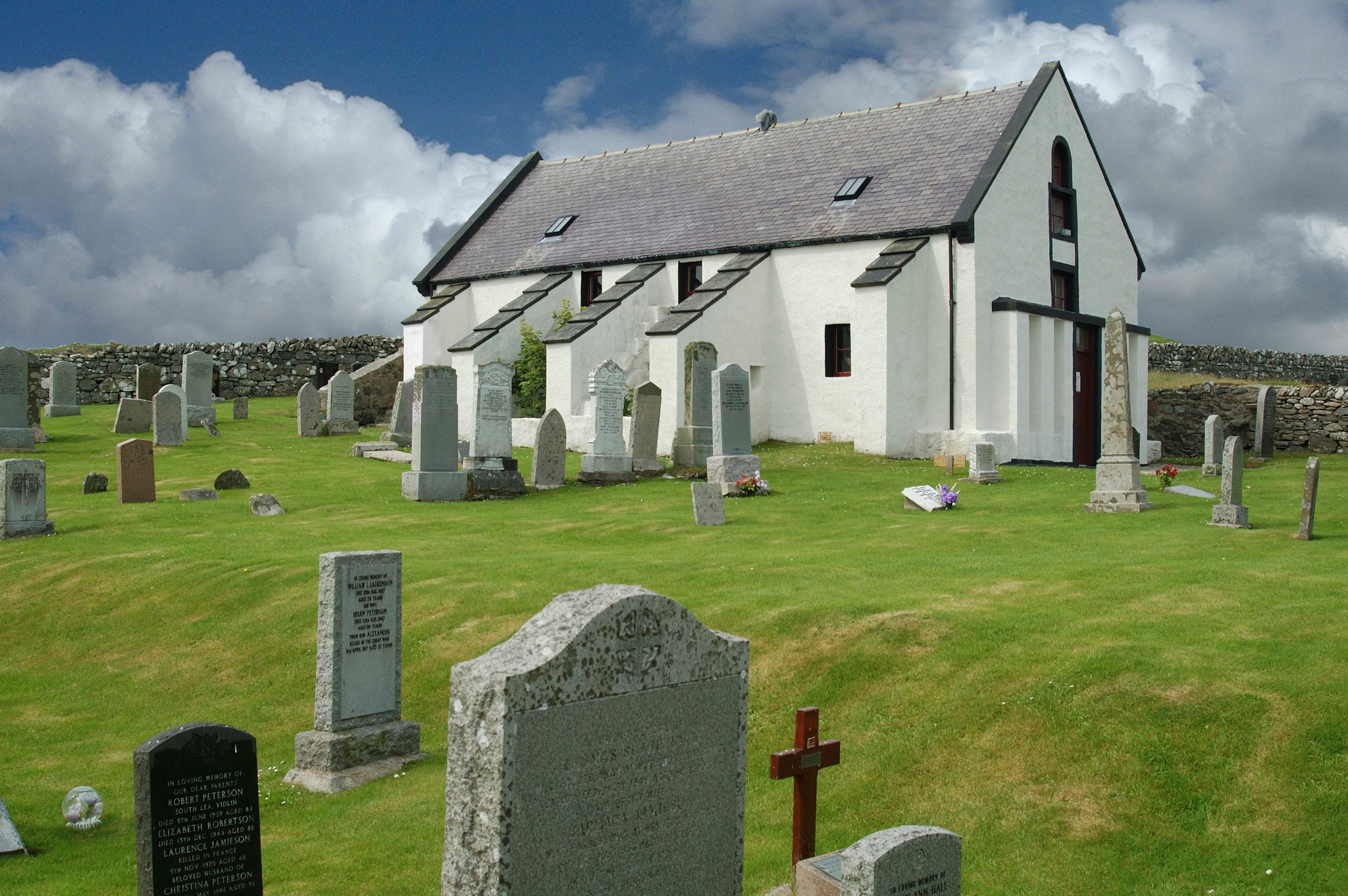
Whiteness & Weisdale
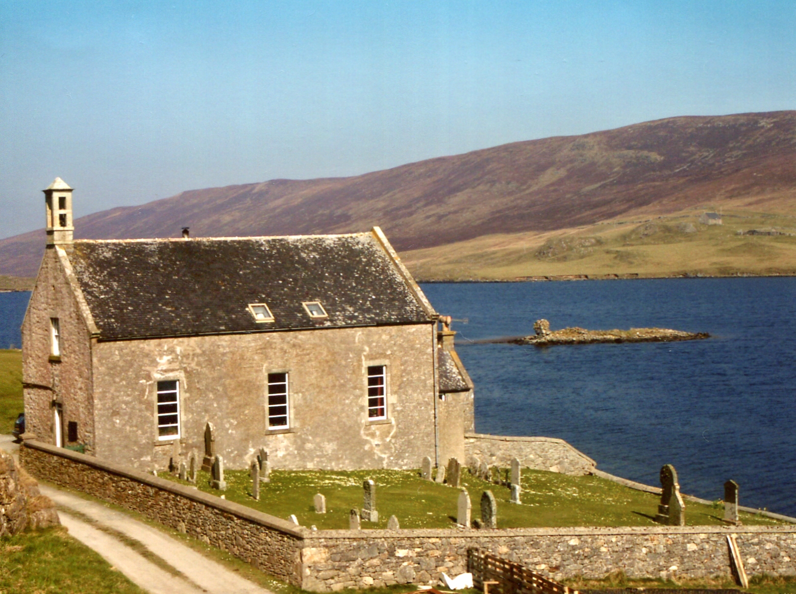
Churchton (Nr Stom Loch) © SFHS
Originally part of the United Parish of Tingwall, Scalloway, Whiteness & Weisdale since the sixteenth century. In 1899 Whiteness & Weisdale were severed quod sacra from the other two parts. Note. Most indexes will place all records as being in Tingwall and a single register continued to be kept.
Church of Scotland Registers: Early records not included in the Tingwall Registers:
Baptisms 1727 – 1765.
Marriages. 1728 – 1765.
Burials. None. All included in the Tingwall Register.
Sandsting
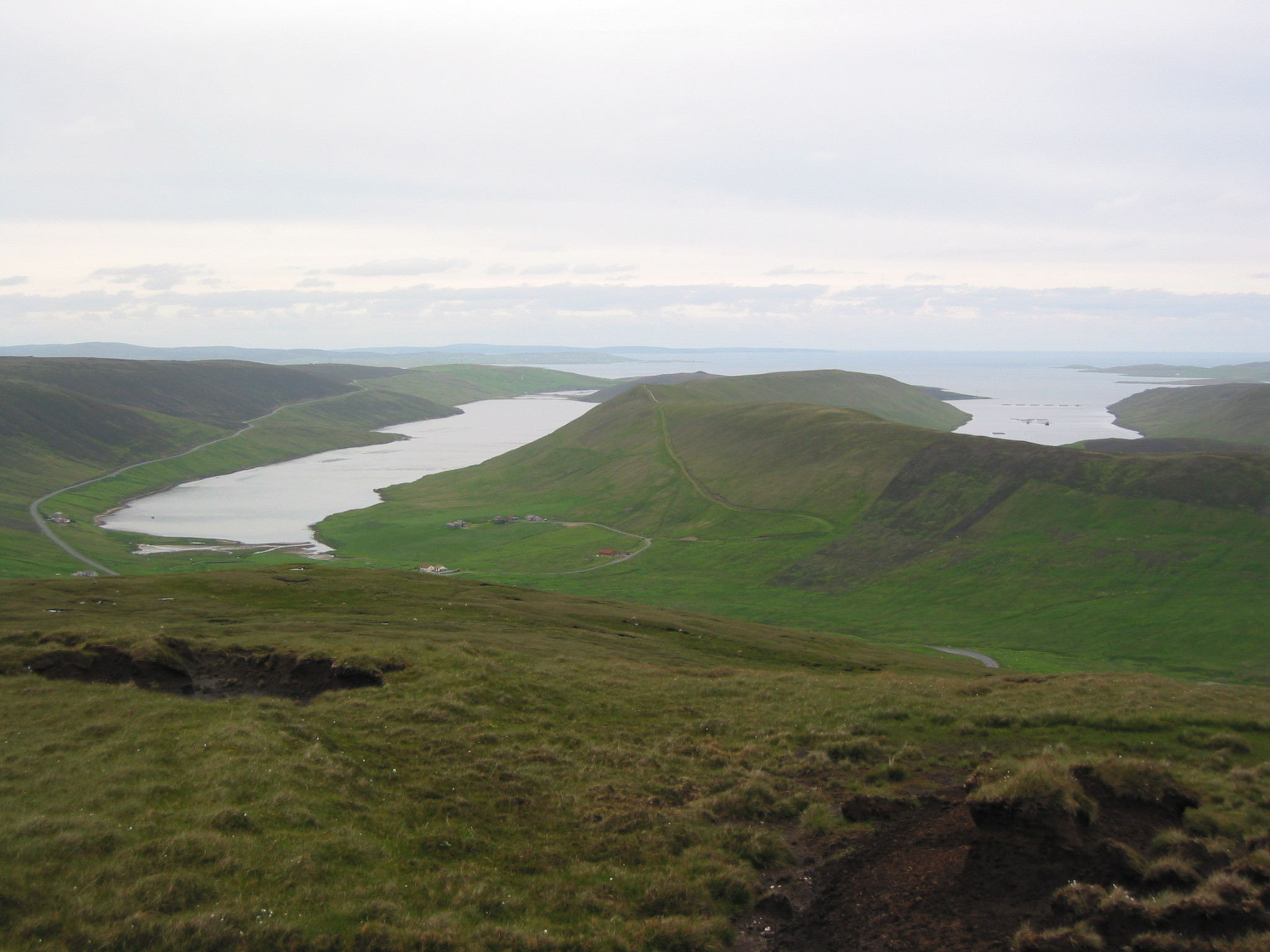
Sand © AM Beattie
A United Parish with Aithsting since the sixteenth century.
Church of Scotland Registers (the two parts of the parish did not keep separate registers all records are in the same set of books):
Baptisms 1733 – 1854
Marriages 1733 – 1854, blank 1776 – 1793, 1812 – 1815.
Burials 1733 – 1775.
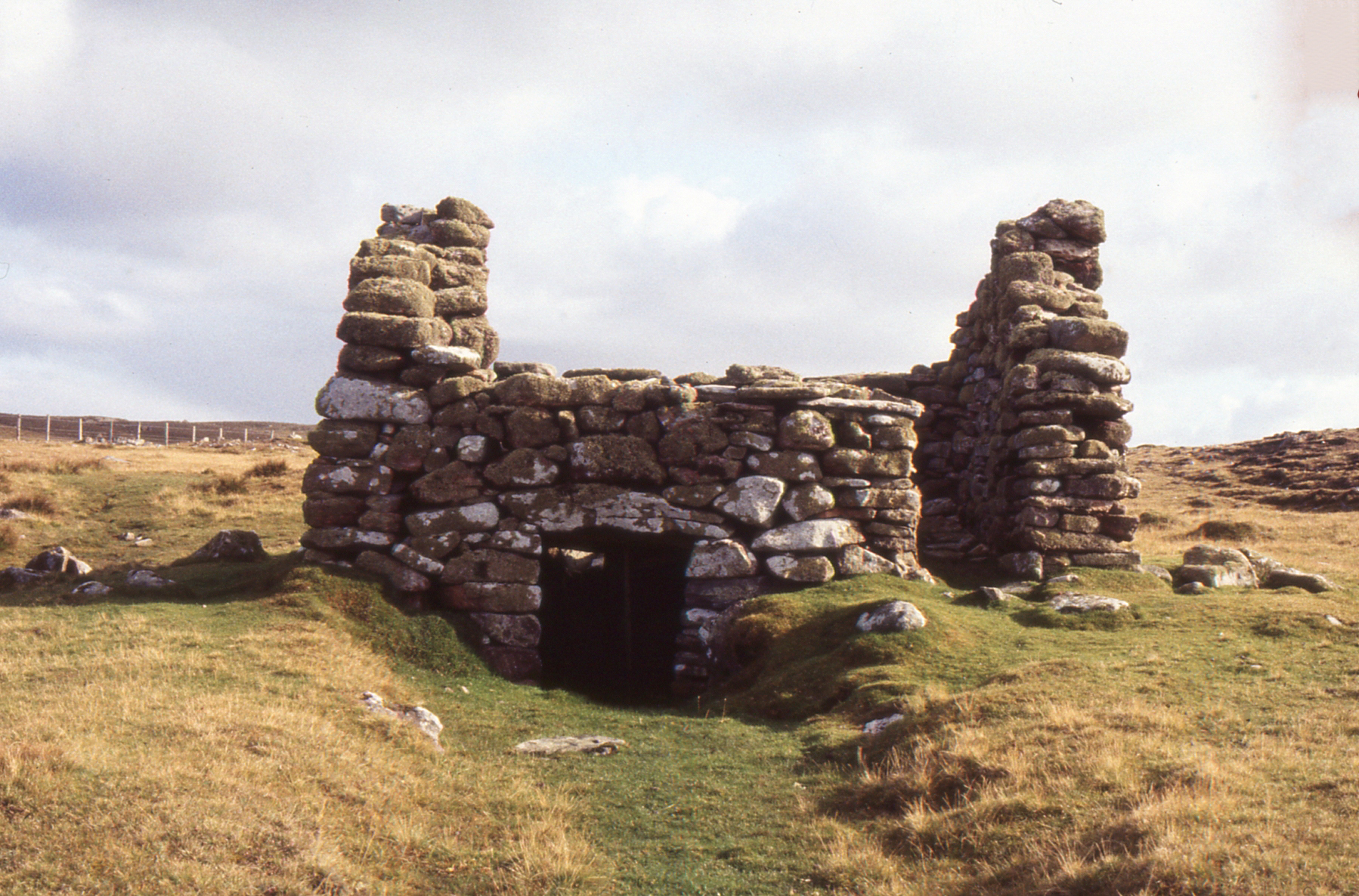
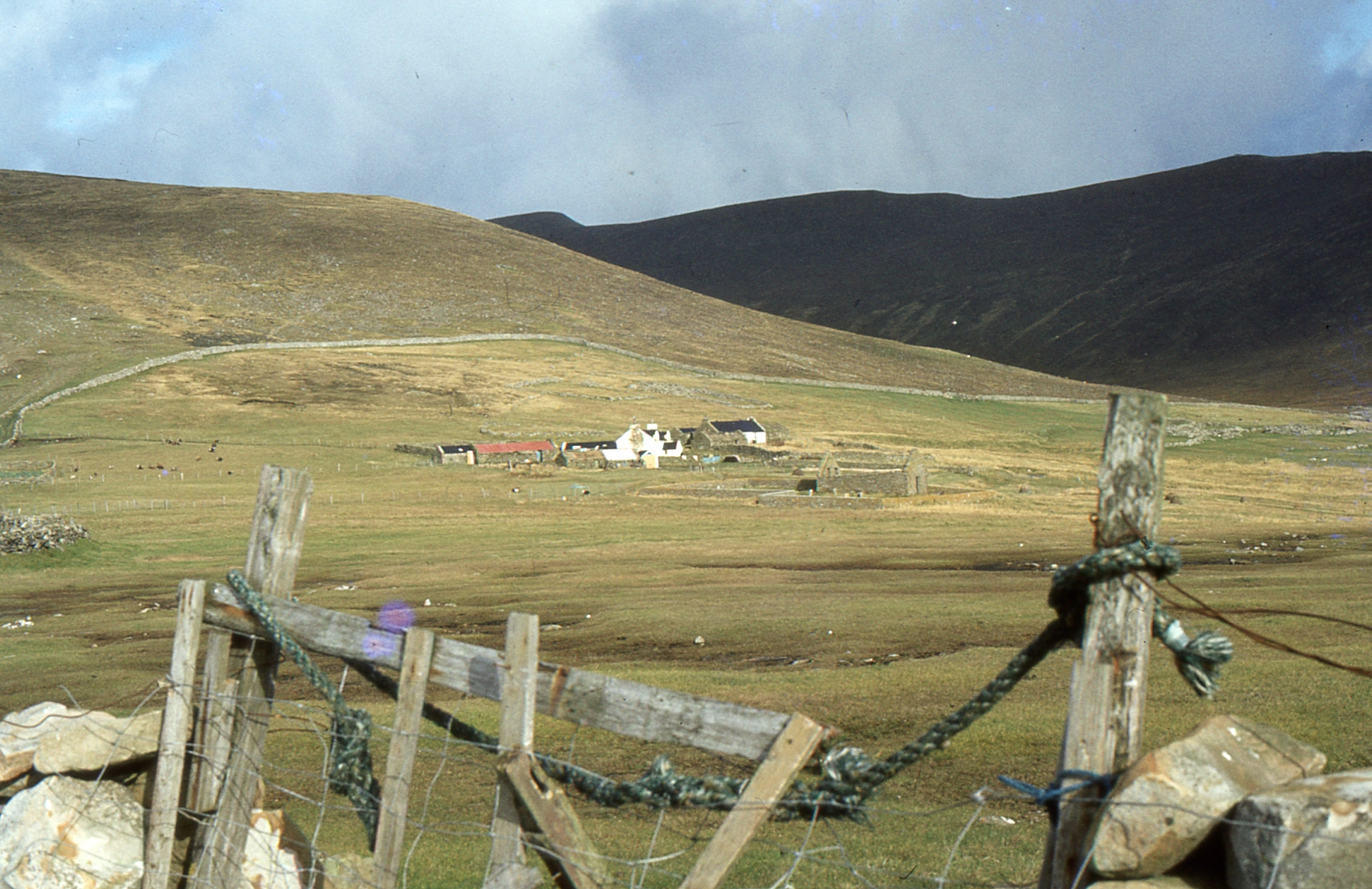
Aithsting
Twatt © SFHS
A United Parish with Sandsting since the sixteenth century.
Church of Scotland Registers (the two parts of the parish did not keep separate registers all records are in the same set of books):
Baptisms 1733 – 1854
Marriages 1733 – 1854, blank 1776 – 1793, 1812 – 1815.
Burials 1733 – 1775.
Nesting
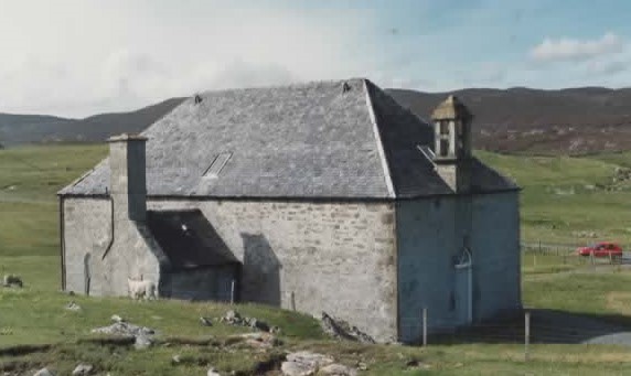
Nesting Kirk © T Gray
Part of the United Parish of Nesting, Lunnasting, Whalsay and Skerries. In 1868 Whalsay & Skerries were disjoined quod sacra from Nesting & Lunnasting.
Church of Scotland Registers:
Baptisms 1783 – 1854, appears irregular from 1808.
Marriages 1828 – 1854.
Burials. None.
Lunnasting
Lunna Kirk © T Gray
Part of the United Parish of Nesting, Lunnasting, Whalsay and Skerries remained united with Nesting after Whalsay & Skerries were disjoined.
Note: Indexes often erroneously show records from Lunnasting as being from Nesting.
Church of Scotland Registers:
Baptisms 1781 – 1854.
Marriages. 1795 – 1854.
Burials 1802 – 1836.
Wesleyan Methodist.
Part of the Lerwick Circuit.
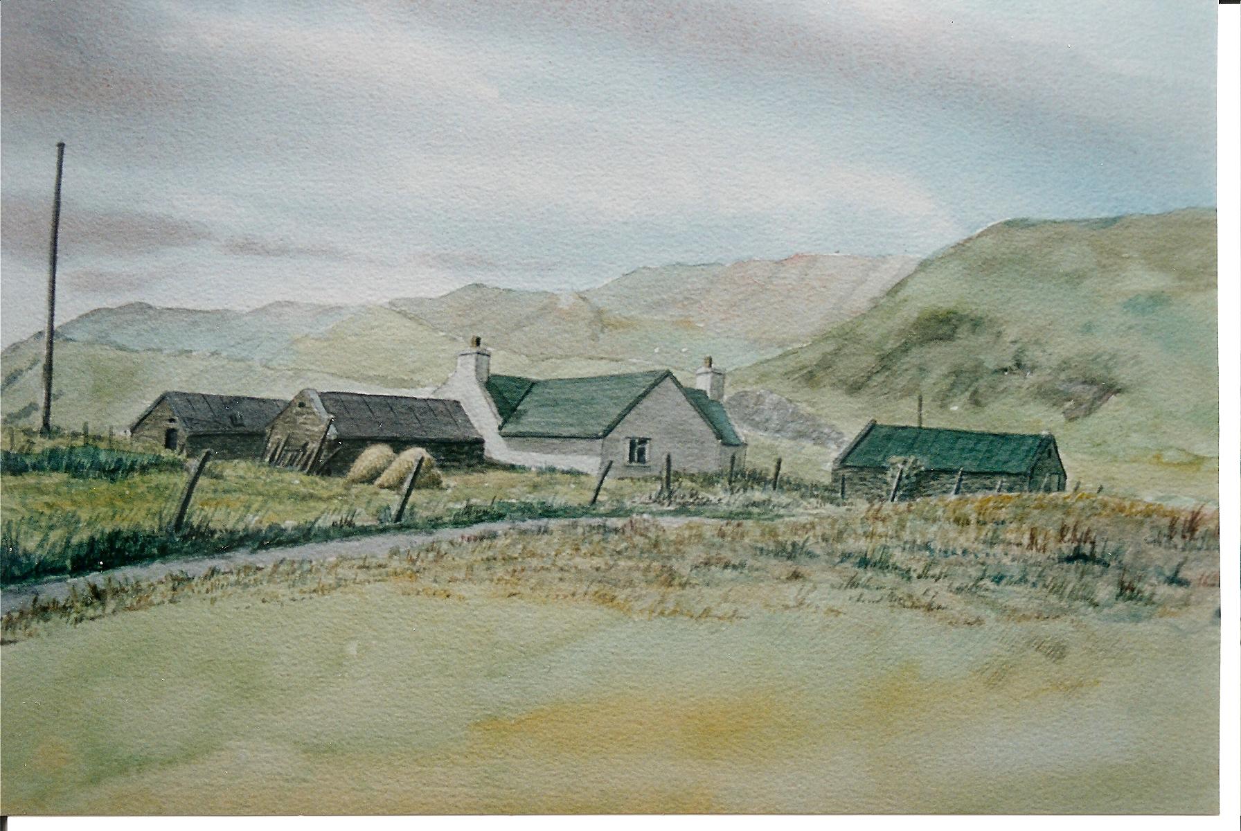
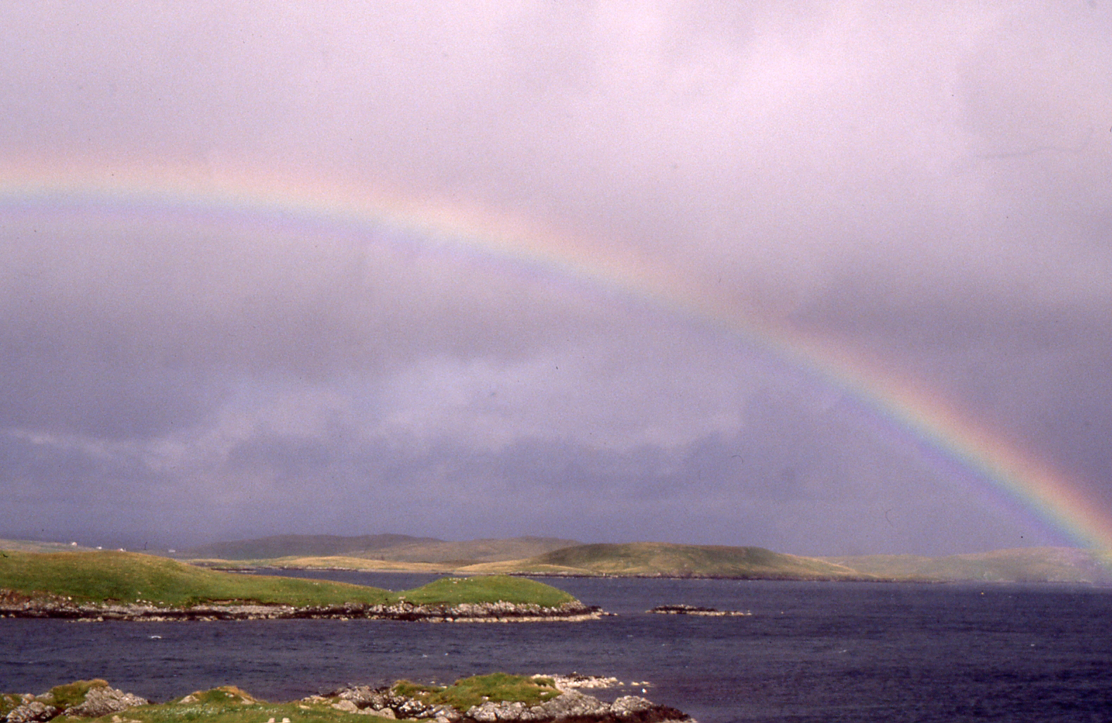
Delting
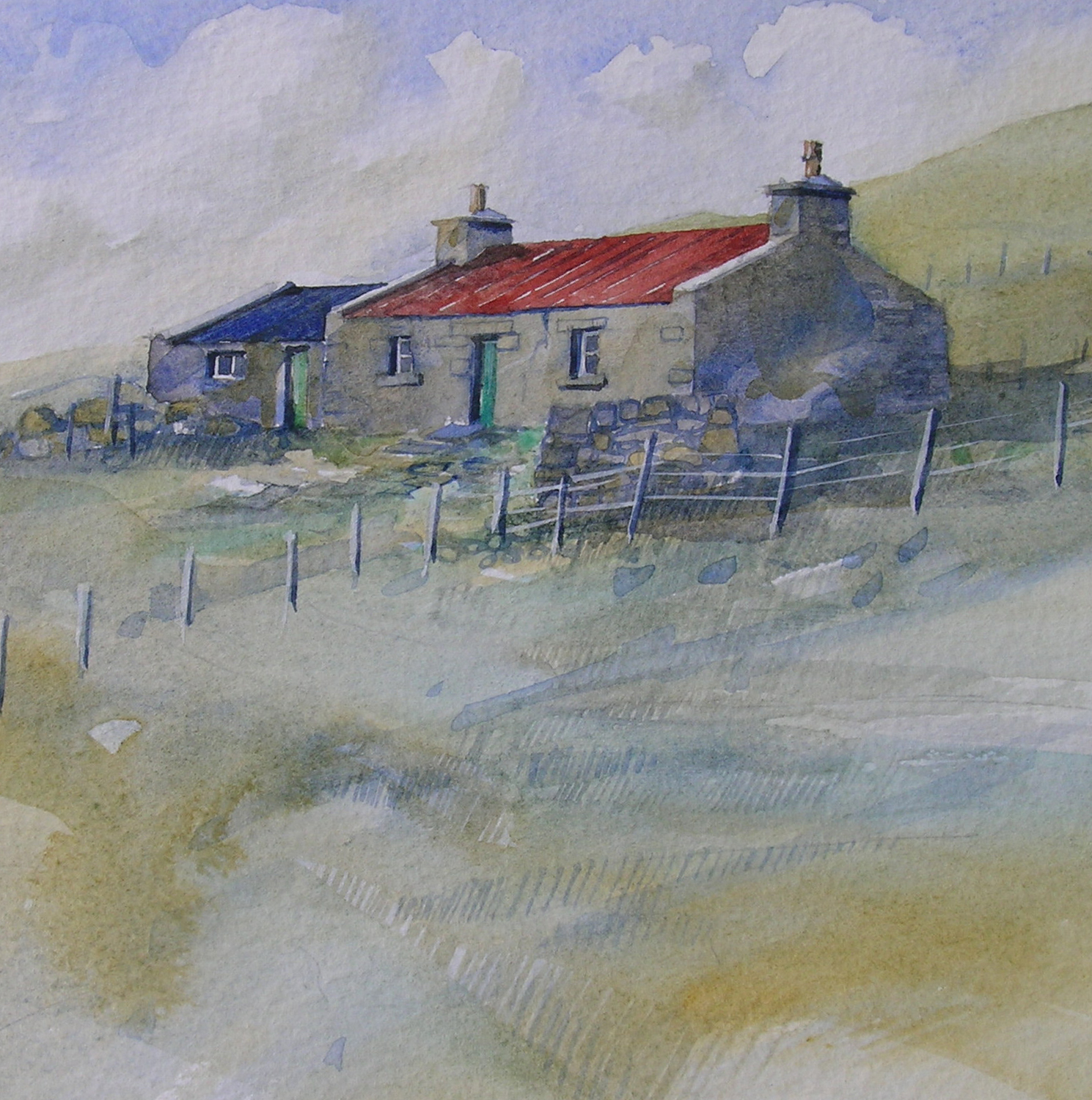
Dale & Swinister © AM Beattie
Church of Scotland Registers:
Baptisms. 1709-1719, 1751-1854 blank Nov. 1773-Nov 1776.
Marriages. 1709-1719, 1751-1854 blank Sep. 1772-May 1779, and Dec 1789-Nov. 1791.
Burials. None.
Free Church of Scotland:
Baptisms. 1848-1855+
Marriages 1848-1855+
Burials. None.
Wesleyan Methodists
Delting was part of the North Roe circuit, but many families moved in and out of Lerwick and some events may be recorded in that circuit.
North Roe
Baptisms. 1833-(1855+)
Marriages (1850s)
Burials. None.
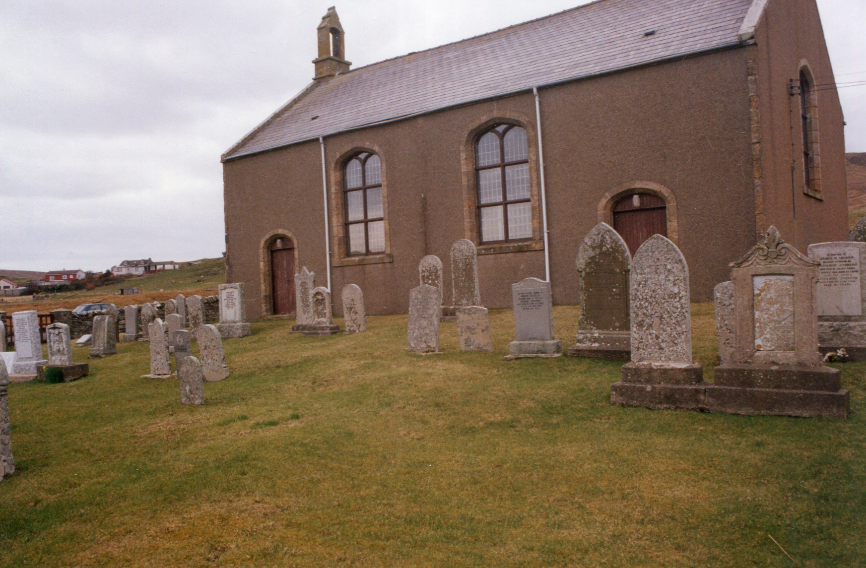
South Yell
Methodist Chapel © AM Beattie
United Parish of Mid & South Yell.
Church of Scotland Registers:
Baptisms. 1730 – 1772, blank June 1744 – April 1760, few entries October 1762 – May 1770.
Marriages. 1730 – 1783, blank September 1743 – August 1760, gaps November 1774 – January 1780.
Burials. None.
Single Register covering Mid & South Yell.
Baptisms. 1820 – 1854.
Marriages. 1820 - 1854.
Burials 1833 one entry.
Some additional Baptisms and Marriages are held in Shetland Archives (D23/154/10 including:
Baptisms 1778 – 1801 “Neglected entries (D23/154/10/5), 1829 – 1825, 1850.
Marriages 1849 – 1851.
Mid Yell
West Yell © Mike Finnie
Mid Yell © SFHS
United Parish of Mid & South Yell. on 1880 South Yell was disjoined quod sacra from Mid Yell.
Church of Scotland Registers:
Baptisms. 1723 – 1821, Blank September 1723 – April 1726 and October 1758 – January 1771.
Marriages 1800 – 1820.
Burials 1740.
Single Register covering Mid & South Yell.
Baptisms. 1820 – 1854.
Marriages. 1820 - 1854.
Burials 1833 one entry.
Some additional Baptisms and Marriages are held in Shetland Archives (D23/154/10 including:
Baptisms 1778 – 1801 “Neglected entries (D23/154/10/5), 1829 – 1825, 1850.
Marriages 1849 – 1851.
North Yell
Unst from Cullivoe © Mike Finnie
United Parish with Fetlar.
Church of Scotland Registers (some early records are with Fetlar):
Baptisms. 1787 – . Irregular until 1811.
Marriages. 1801 - . Irregular unto 1811.
Burials. None.
Unst
Unst Hermaness © MJT Canter
Became a United Parish in the sixteenth century when the three ancient parishes on the island, Norwick, Baliasta and Lund were joined.
Church of Scotland Registers:
Baptisms 1776 – 1854.
Marriages. 1797 – 1854, blank 1802 – 1811.
Burials. 1833 – 1854.
Free Church of Scotland:
Baptisms 1848 –
Marriages. None. Burials. None.
Wesleyan Methodist:
Baptisms 1847 – 1873.
Fetlar
Fetlar © S Cooper
Part of a United Parish with North Yell; never a parish in its own right. Note: Indexes often erroneously show records from Fetlar as being from North Yell.
Church of Scotland Registers:
Baptisms. 1754 – irregular entries of births 1803 – 1812.
Marriages. 1802 – 1854.
Burials. 1803, 1921 – 1854.
Wesleyan Methodist:
Part of the Unst Circuit registers.
Baptisms 1847 – 1873.
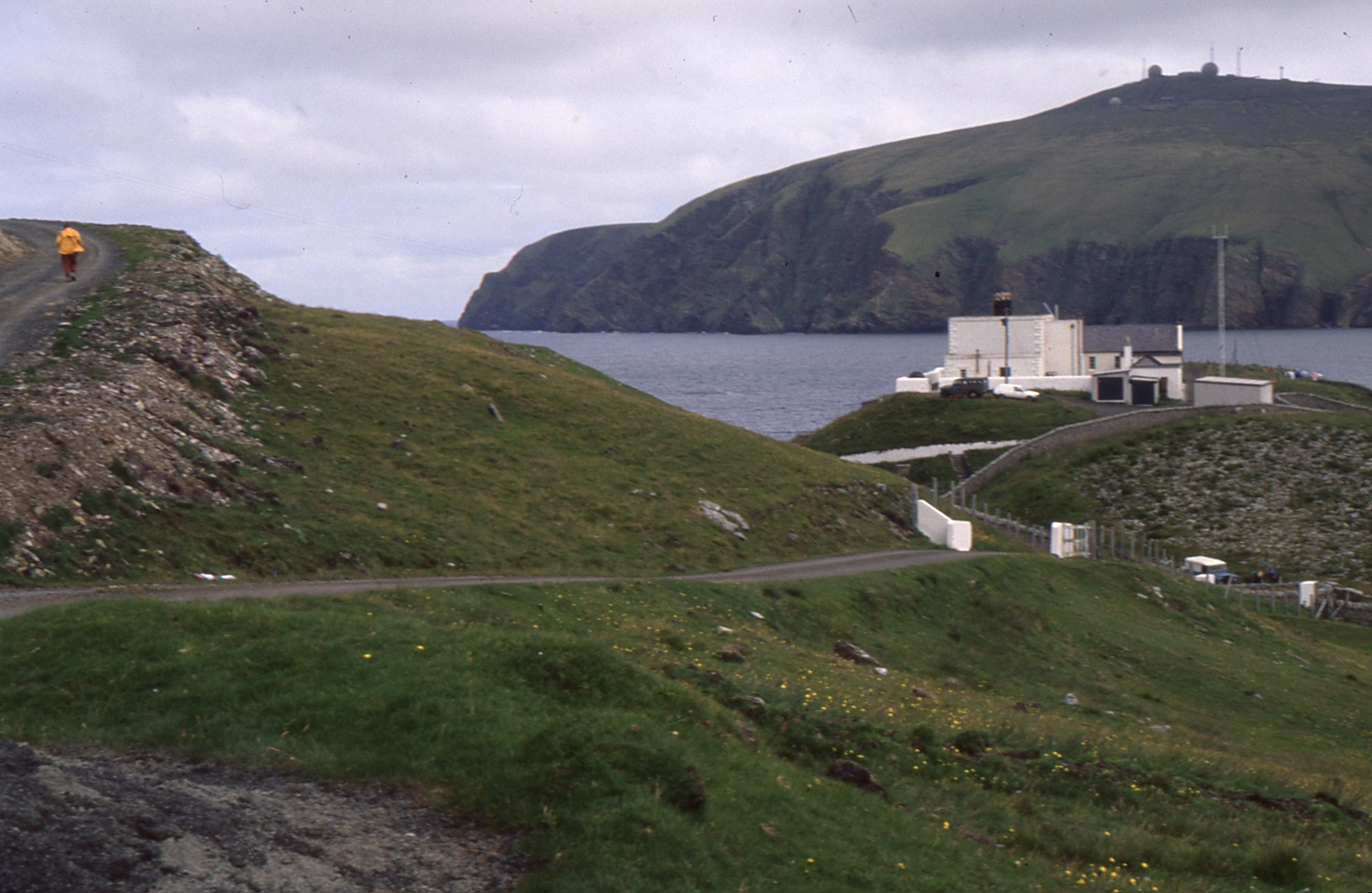
Northmavine
Fethaland © AM Beattie
Appears to have always been a Parish on its own.
Church of Scotland Registers:
Baptisms 1758 – 1854, blank 1783 -1788.
Marriages. 1788 – 1854.
Burials. 1854 (one only).
The Diary of Christopher Sandison (Published as “Christopher Sandison, Diarist in the Age of Social Change” ed. Sandison, Ronald (Lerwick 1997) gives over 100 burials for Northmavine in the period 1758 – 1852.
Wesleyan Methodist:
North Roe Circuit.
Baptisms 1833 –
Marriages 1851 -
Skerries
Skerries2 © AM Beattie
Originally part of the United Parish of Nesting, Lunnasting, Whalsay and Skerries in 1868 Whalsay & Skerries were disjoined quod sacra. Note: Indexes often erroneously show records from Skerries as being from Nesting.
Church of Scotland Registers:
(a single register was kept covering both Whalsay & Skerries)
Baptisms. 1787 – 1854.
Marriages. 1787 – 1854.
Burials 1787 – 1854.
Whalsay
Whalsay © MJT Canter
Originally part of the United Parish of Nesting, Lunnasting, Whalsay and Skerries in 1868 Whalsay & Skerries were disjoined quod sacra. Note: Indexes often erroneously show records from Whalsay as being from Nesting.
Church of Scotland Registers:
Baptisms. 1787 – 1854.
Marriages. 1787 – 1854.
Burials 1787 – 1854.
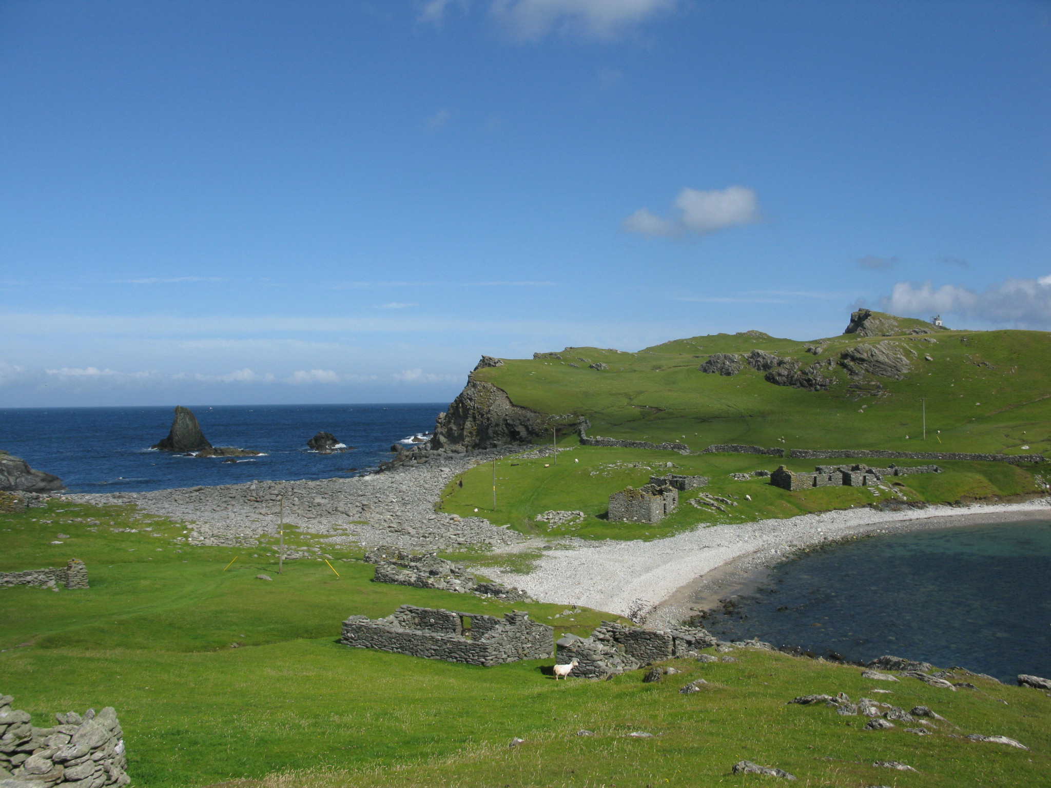
Papa Stour
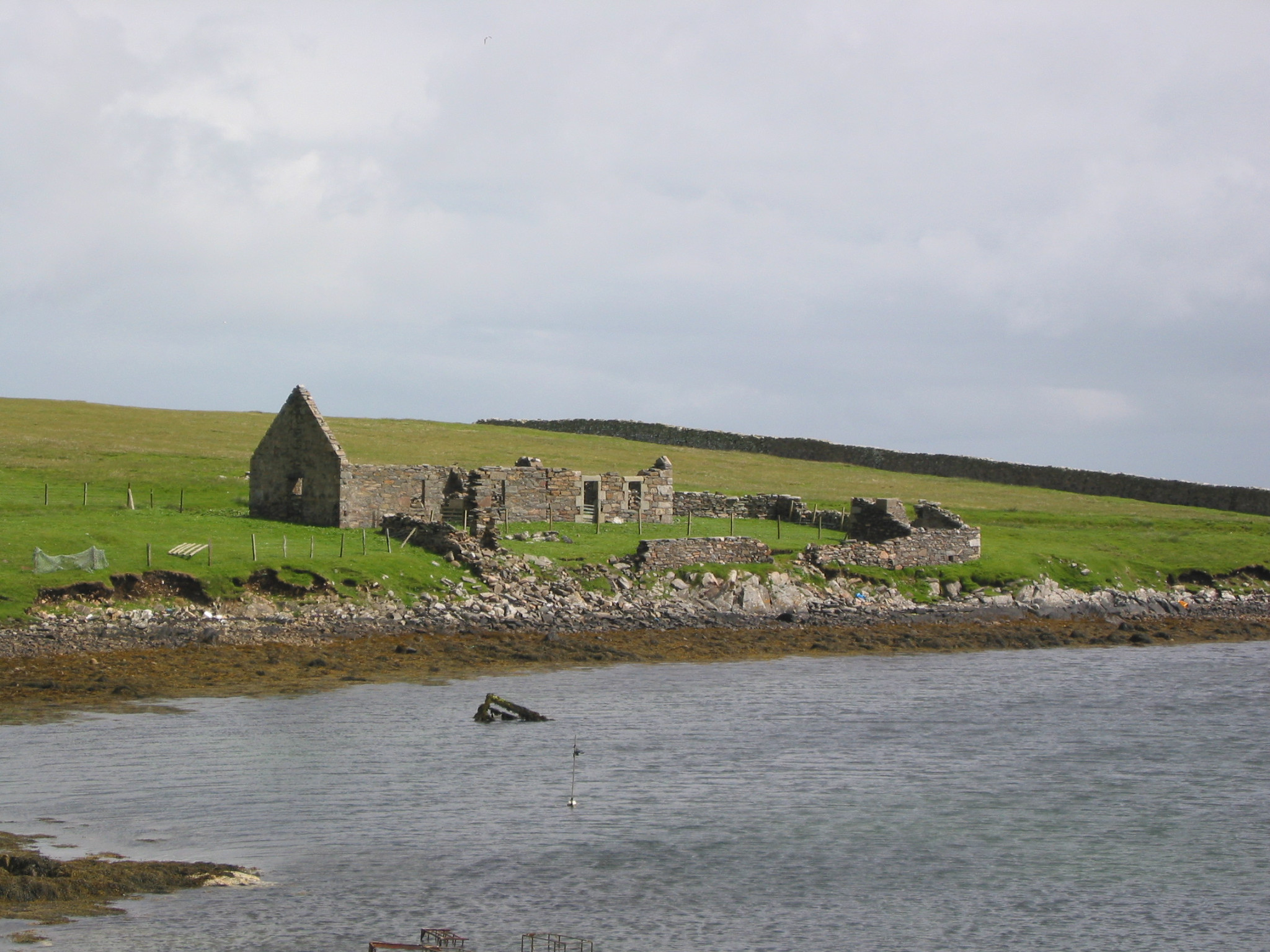
Papa Stour Biggins © S Cooper
Papa Stour/Mill © S Cooper
Part of the United Parish of Walls, Sandness, Papa Stour & Foula. Note: Indexes often erroneously show records from Papa Stour as being from Walls.
Church of Scotland Registers:
Baptisms 1772 – 1854.
Marriages 1773 – 1800, 1820 – 1854.
Burials 1772 – 1800.
Sandness
Sandness2 © Mike Finnie; Sandness © SFHS
Part of the United Parish of Walls, Sandness, Papa Stour & Foula. Note: Indexes often erroneously show records from Sandness as being from Walls.
Church of Scotland Registers:
Baptisms. 1787 – 1854.
Marriage. 1790 – 1854.
Burials. 1790 -1829.
Fragments of some earlier records are held in the Shetland Archives with parts of pages of burials / baptisms from the 1740s.
Walls
Burrastow © MJT Canter
Part of the United Parish of Walls, Sandness, Papa Stour & Foula.
Church of Scotland Registers:
Baptisms 1771 – 1854, only six entries prior to 1789.
Marriages. 1780 – 1854.
Burials. 1781 – 1854, blank 1782 – 1803 but for a few entries in 1796 and 1798.
A few fragments of an earlier register are held by Shetland Archives (CH2/380/6) covering:
Baptisms. 1744 – 1794
Marriages 1742 – c. 1770.
Deaths. 1743 – c.1780.
Foula
Foula Biggins © S Cooper.
Part of the United Parish of Walls, Sandness, Papa Stour & Foula. Note: Indexes often erroneously show records from Foula as being from Walls.
Church of Scotland Registers:
Baptisms. 1783 – 1854 only 3 entries before 1803, irregular entries 1826 – 1854.
Marriages 1824 – 1852 only six entries.
Burials. None.
Bressay
Bressay towards Lerwick © S Cooper
Originally a United Parish with Burra and Quarff, now united with Lerwick.
Church of Scotland Registers:
Births/Baptisms. 1721–1854 with gaps 1745-7, 1750-3.
Marriages. 1766-1854 with gaps 1794-1812.
Deaths. 1786-1791, 1817-1849 no entries for 1844.
Noss
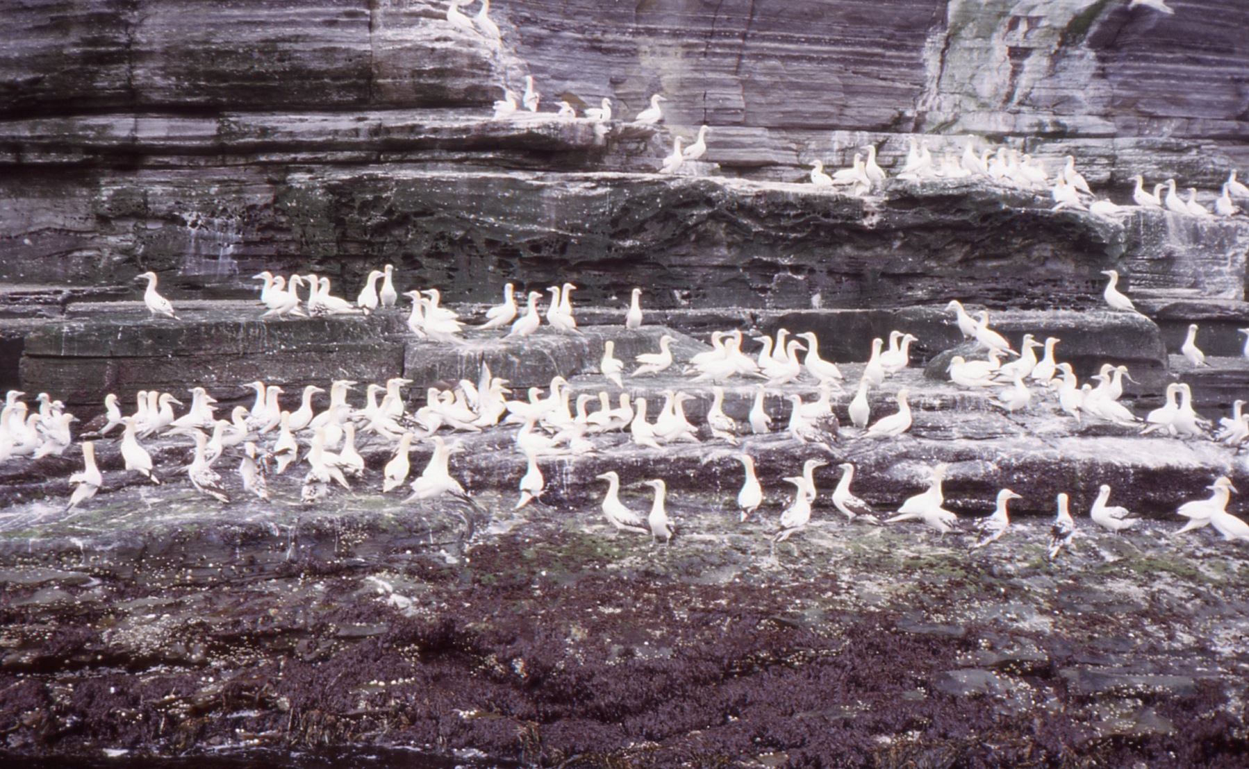
Noss Gannets © S Cooper
Noss © S Cooper.
This is a small island off Bressay all its records are included in the Bressay Registers.
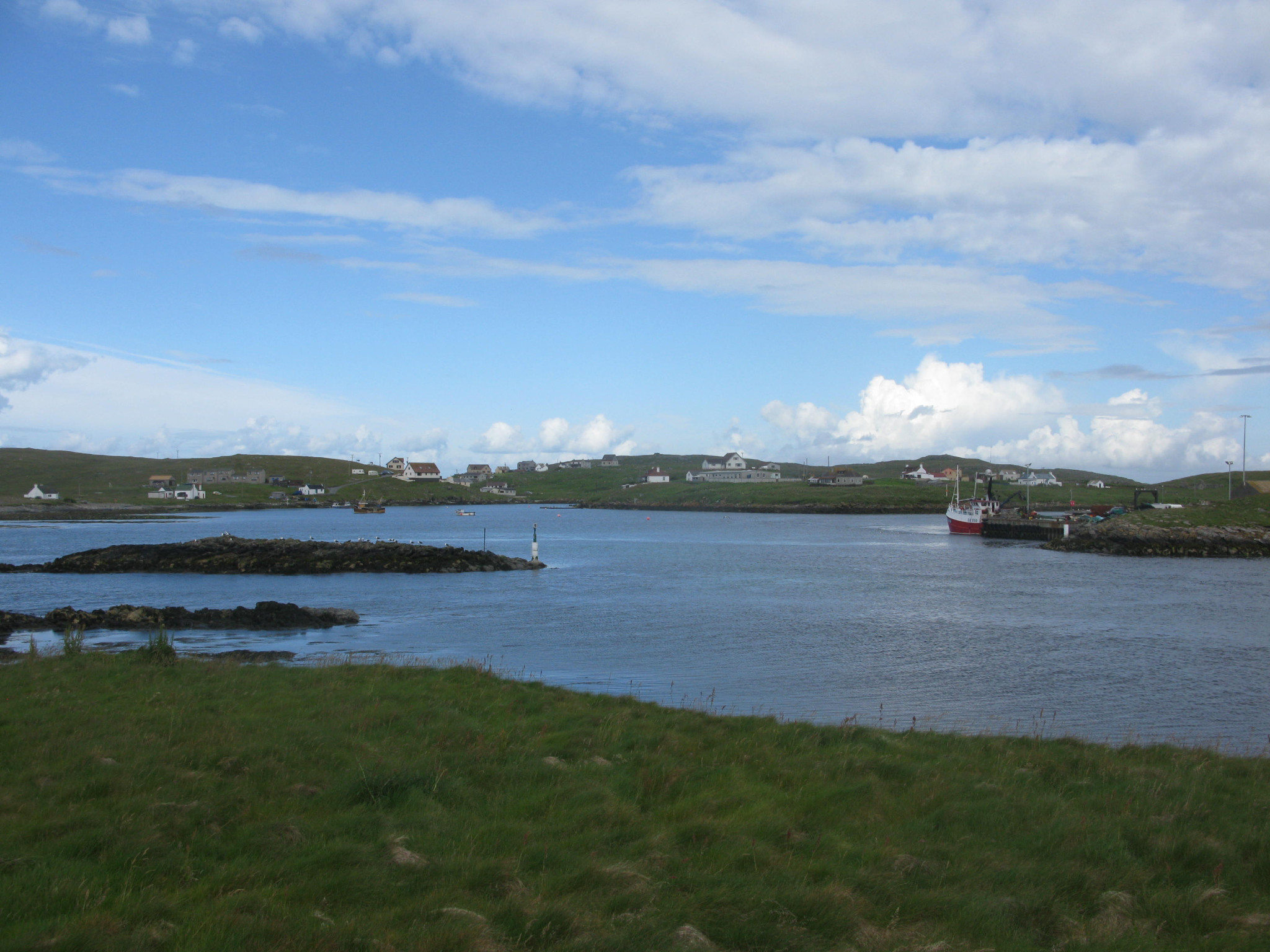
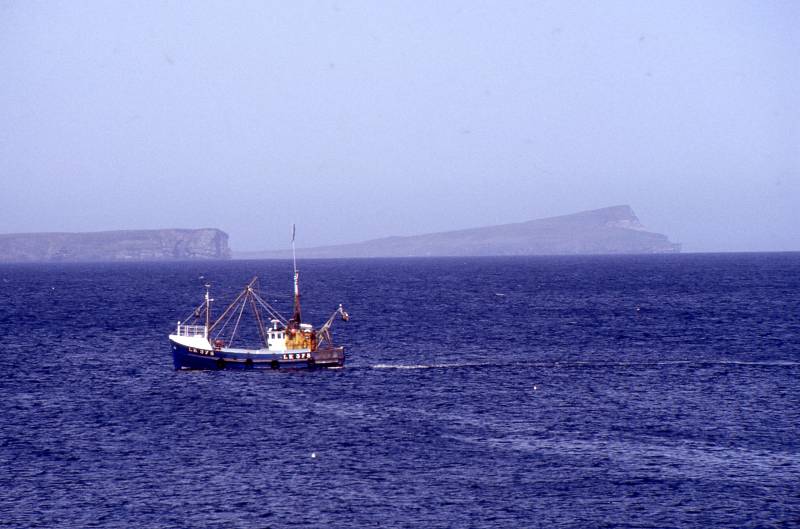
Fair Isle
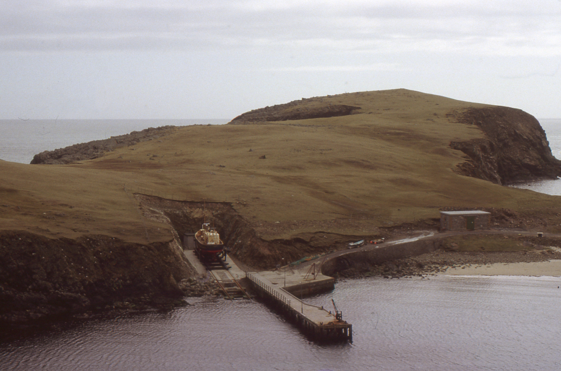
Fair Isle with Good Shepherd © S Cooper
From the 17th Century a United Parish with Sandwick, Cunningsburgh & Fair Isle. In 1870 Sandwick & Cunningsburgh were severed quod sacra from Dunrossness & Fair Isle. Note: Indexes often erroneously show records from Fair Isle as being from Dunrossness.
Church of Scotland Registers:
About 37 families recorded in groups, preceded generally by the entry of marriage of the parents, plus 15 transcribed entries of birth 1767 – 96.
Baptisms. 1767 –
Marriages. 1789 –
Burials. None.
Wesleyan Methodist:
Included in the Dunrossness Circuit Records.